
Project Scope
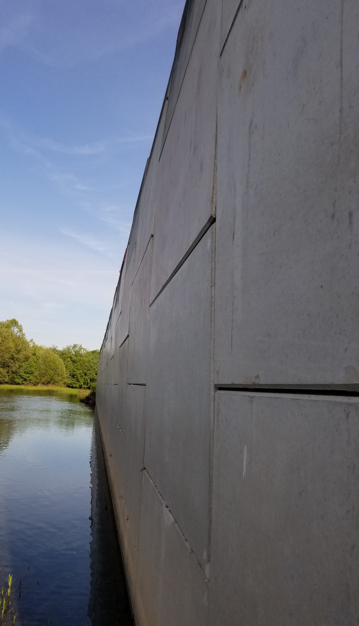
The Moorefield Levee Flood Protection Project (MLFPP) in West Virginia was constructed between years 1996 and 1997 and consists of two levee segments (North and South). Both segments protect the Town of Moorefield from flooding along the South Branch Potomac River and South Fork South Branch Potomac River. The overall system consists of approximately 4.5 miles of earthen levee, 350 feet of double-sided Mechanically Stabilized Earth (MSE) wall, 900 feet of half-levee/half-MSE wall, two swing gate closure structures, and 22 drainage structures with sluice and flap gates.
As part of the National Flood Insurance Program (NFIP), the Federal Emergency Management Agency (FEMA) develops Flood Insurance Rate Maps (FIRMs) to identify areas subject to flooding, primarily floods having a 1% chance of being equaled or exceeded in any given year; also referred to as the 1% annual-chance, 100-year, or Base flood. During FIRM updates, FEMA requires that all levee systems accredited as providing protection against the 1% annual-chance flood be certified as meeting the minimum criteria described in Title 44 of the Code of Federal Regulations (CFR), Section 65.10, entitled “Mapping of Areas Protected by Levee Systems” (i.e., 44 CFR 65.10).
We evaluated the MLFPP for accreditation under NFIP, related to FEMA’s DFIRM updates for Hardy County. The evaluation included two-dimensional (2D) hydraulic modeling of the riverine system using HEC-RAS and RiverFlow2D; 2D hydrologic/hydraulic modeling for the interior drainage system; and preliminary Quantitative Risk Assessment (QRA) using the USACE’s new Engineering and Construction Bulletin 2019-11 and Engineering Manual 1110-2-1619. The QRA was conducted to determine if reaches that are not meeting standard freeboard requirements along the North Levee can still be accredited, which would limit the needed upgrades. Preliminary designs of upgrades and associated costs, including raising levee segments with earthen fill and concrete gravity walls were developed in close collaboration with the USACE Baltimore District and FEMA.